| Locality type: | Shaft |
| Classification |
|---|
|
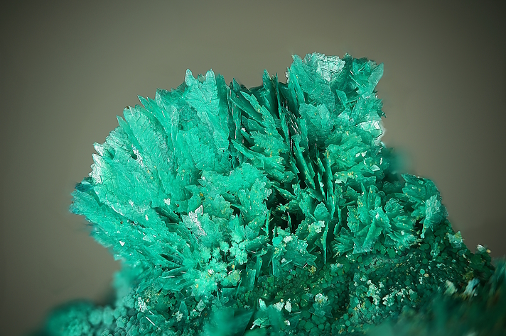
| Species: | Posnjakite |
| Formula: | Cu4(SO4)(OH)6 · H2O |
| Confirmation |
|---|
|
| Validity: | Believed Valid |
| Data |
|---|
|
| Mineral Data: | Click here to view Posnjakite data |
| Locality Data: | Click here to view Fromm Shaft, Kamsdorf, Unterwellenborn, Saalfeld-Rudolstadt District, Thuringia, Germany |
| Data Identifiers |
|---|
|
| Mindat Occurrence Record ID: | 967115 |
| Long-form Identifier: | 1:3:967115:7 |
| GUID (UUID V4): | 0 |
| Nearest other occurrences of Posnjakite |
|---|
|
|
| 34.7km (21.6 miles) | ⓘArme Hilfe Mine, Ullersreuth, Hirschberg, Saale-Orla District, Thuringia, Germany |
| 53.7km (33.4 miles) | ⓘLichtenberg open cast, Ronneburg, Greiz District, Thuringia, Germany |
| 81.0km (50.4 miles) | ⓘJunge Kalbe Mine, Neustädtel, Schneeberg, Erzgebirgskreis, Saxony, Germany |
| 83.3km (51.8 miles) | ⓘKönig David Mine, Bad Schlema, Aue-Bad Schlema, Erzgebirgskreis, Saxony, Germany |
| 92.2km (57.3 miles) | ⓘSt Christoph Mine, Breitenbrunn, Breitenbrunn, Erzgebirgskreis, Saxony, Germany |
| 95.0km (59.0 miles) | ⓘGelbe Birke Mine, Beierfeld, Grünhain-Beierfeld, Erzgebirgskreis, Saxony, Germany |
| References |
|---|
|
|

Fromm Shaft, Kamsdorf, Unterwellenborn, Saalfeld-Rudolstadt District, Thuringia, Germany